Weather Forecasts & Live Reports
About Pt Hedland Radar
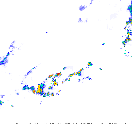
The Radar is located at the airport approximately 7km from the coast on flat open country with few trees. The coastline runs broadly from the northeast to the southwest. The terrain within 100km is generally lower than 200m above mean sea level (amsl). Between 100 and 200km the land rises to around 450m amsl. Ground above 500m amsl occurs to the south west at around 300km. These features are mostly beyond the geographical horizon, thus ensuring that the radar's horizon is unobstructed and that there are no significant restrictions to radar coverage. The radar is well located to detect tropical cyclones and storms as they approach or develop over the ocean. During the wet season, tropical cyclones and thunderstorm clouds are generally clearly visible on the radar for distances of up to approximately 250 km. It is common in the wet season (primarily January to March) for thunderstorm cells to form to the South of Port Hedland, with individual cells sometimes merging to form a line of storms running in a NE/SW direction, anywhere from 60 km to 200 km South of Port Hedland. Favourable locations for thunderstorm activity, as seen on the radar in these events, are generally over the ranges to the South of Port Hedland. In strong wind conditions the radar may detect the rough sea surface and show ""sea clutter"" over the ocean. It can often be difficult to differentiate between sea clutter and light precipitation. During the dry season, the radar may experience effects of ""anomalous propagation"". At these times the radar beam is more strongly curved towards the earth and features normally beyond the radar's horizon may become visible on the display. These anomalous features may appear like discrete patches of light rainfall.


