Weather Forecasts & Live Reports
About Sydney (Terrey Hills) Radar
Geographical Situation
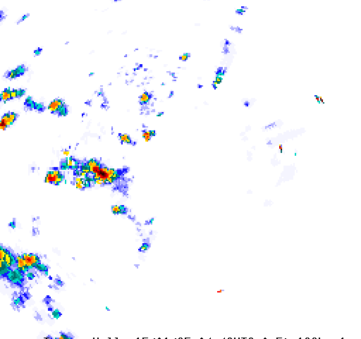
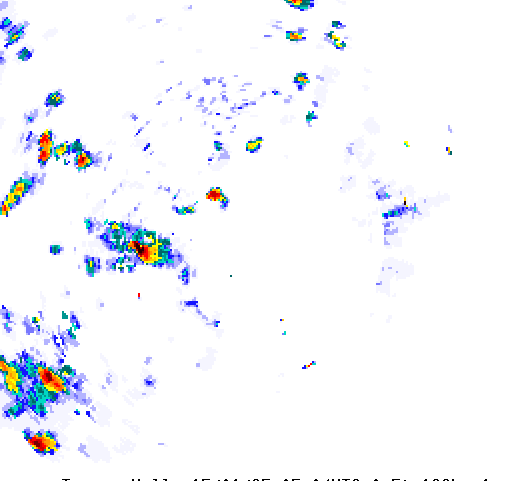
The radar is located 18 km north of the Sydney CBD. The Terrey Hills site, on the Hornsby plateau at an elevation of 195 metres above sea level, gives the radar an excellent view in all directions.The rough topography of the Great Dividing Range slightly compromises the radar's view to the west, but the coverage to the north, east and south is largely unobstructed. Based on detecting echoes at an altitude of 3,000 metres, the radar coverage extends as far north as Bulahdelah and Scone, west to Mudgee and Bathurst and south to Goulburn and Ulladulla. Meteorological Aspects
The radar will readily detect thunderstorms and deep rain-bearing systems approaching from any direction, often at greater range than quoted above. The high sensitivity of the radar will assist in the detection of drizzle and light shower activity over Sydney, the Central Coast and Blue Mountains, but, as with other radars, the curvature of the Earth may hide these usually shallow weather systems at longer range. People in the Newcastle, Hunter Valley and lower Mid North coast are therefore encouraged to refer to the nearer Newcastle radar, those in the Illawarra the Wollongong (Appin) radar and users on the Southern Tablelands the Canberra radar. Non-meteorological Echoes
In most cases, processing of the radar signal removes permanent echoes caused by hills, buildings and other solid objects, but sometimes a few slip through. These usually show up as small, stationary or erratically moving specks, mostly over the higher ground of the Blue Mountains, Southern Highlands and Barrington Tops areas. On cold clear winter nights and mornings these echoes may become stronger or increase in number due to downward refraction of the radar beam. Ships are regularly observed over the sea. These appear as specks or short arcs (oriented perpendicular to the direction of the radar). They can often be tracked moving towards or away from port over a series of images. During strong winds and very rough seas, sea clutter may be visible off the coast out to a range of about 30 km. This sea clutter tends to remain in the same area and can therefore be distinguished from rain echoes, which generally move with the wind


